


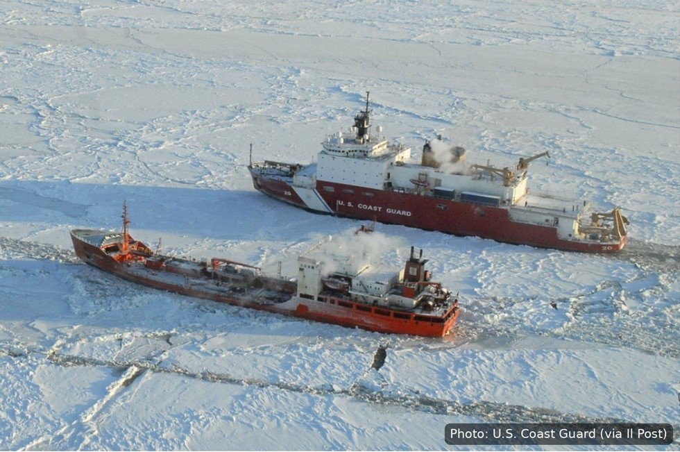
In October 2025 the Istanbul Bridge, a container ship with no ice class and no icebreaker, sailed from China to Felixstowe in about 20 days using the Northern Sea Route, carrying cargo worth around $197 million. Through Suez, the same trip takes more than 40 days. It worked because at the end of summer there was almost no ice left. The next ship might not be so lucky, and the best way to protect it is to know where the ice is right now.
The hard part is not seeing the ice. Synthetic Aperture Radar (SAR) satellites like Sentinel-1 can see it through clouds and during the polar night. The problem comes after. The images are heavy, in the best case they are ready about three hours later, and then analysts still study them by hand. The Norwegian Ice Service publishes its Barents Sea ice charts only from Monday to Friday, but the ice can move around 15 km in one day.
Traffic is growing: in 2025 the Northern Sea Route had 103 transits, a record, and most of the ships had no ice class. The more pressure there is on traditional routes, the more ships will turn north. That makes fresh ice information a safety issue, not a convenience.
This is why Arctic shipping needs AI in orbit: the delay comes from sending and analysing the data, and processing it on board removes both steps. Instead of the full image, the satellite sends the ice map directly. ESA already showed this works in 2020 with Φsat-1, the first European Earth Observation (EO) satellite with AI on board, which threw away cloudy images before sending them.
IceRoute, the pipeline my team and I designed, won first prize at ESA’s EO MakerSpace Hackathon and uses the same idea for sea ice. It is based on a U-Net, a neural network that classifies every pixel of an image, in our case by type of sea ice. The model is quantized to run on a low-power FPGA, and it reduces the data the satellite has to send by 200 times.
There are limits. A CubeSat has very little power, radiation damages the electronics, and a model that makes mistakes in orbit is much harder to fix than one on the ground. It needs serious testing, and ship operators need to trust a map made by an algorithm.
Edge computing in space means the data is analysed where it is captured, before anything is sent down. Instead of a heavy image that waits for transmission and a human analyst, an onboard algorithm turns it into a finished ice map, much more compact and available hours sooner. In the Arctic, where the ice can move 15 km in a day, that speed is what turns satellite data into a safe route. Limits like scarce power, radiation and the difficulty of updating a model in orbit are real, but as trade in the Arctic grows, the value of an ice map will be measured in hours.
Author: Federico Fassio
Sources
1. Maritime Executive, China sets speed record as boxship completes Arctic transit to UK (Oct 2025): https://maritime-executive.com/article/video-china-sets-speed-record-as-boxship-completes-arctic-transit-to-uk
2. NDTA, China launches first ‘Arctic Express’ container service (Sep 2025): https://www.ndtahq.com/china-expands-global-trade-network-with-launch-of-first-arctic-express-container-service/
3. Norwegian Ice Service (MET Norway), Latest ice charts: https://cryo.met.no/latest-ice-charts
4. POAC 2015, Sea currents and ice drift in the western Barents Sea: https://www.poac.com/Papers/2015/pdf/poac15Final00176.pdf
5. Centre for High North Logistics, Main results of NSR transit navigation in 2025: https://chnl.no/news/main-results-of-nsr-transit-navigation-in-2025/
6. ESA, Artificial Intelligence for Earth observation (Φsat-1): https://www.esa.int/Applications/Observing_the_Earth/FutureEO/Phsat/Artificial_Intelligence_for_Earth_observation
7. ESA, PhiSat-1 successfully applies AI to process EO imagery in-flight (2020): https://indico.esa.int/event/338/contributions/5692/